

Trail Running
Four Lakes Trail Längenfeld 18.6k
Längenfeld
Top
Hard
Key facts
4:30 h
Duration
18.48 km
Length
1611 m
Ascent
1611 m
Descent
2,616 m
Max. altitude
1,160 m
Min. altitude
Best Season
Jan
Feb
Mar
Apr
May
Jun
Jul
Aug
Sep
Oct
Nov
Dec
Description
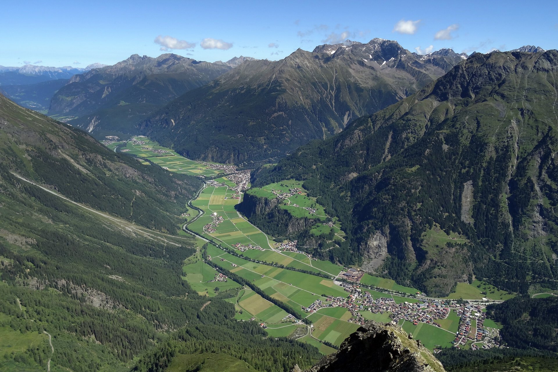
Very beautiful trail running route along 4 different, scenically beautiful lakes above Längenfeld in the Ötztal.
Map & elevation profile
The Tour
Very beautiful trail running route along 4 different, scenically beautiful lakes above Längenfeld in the Ötztal.
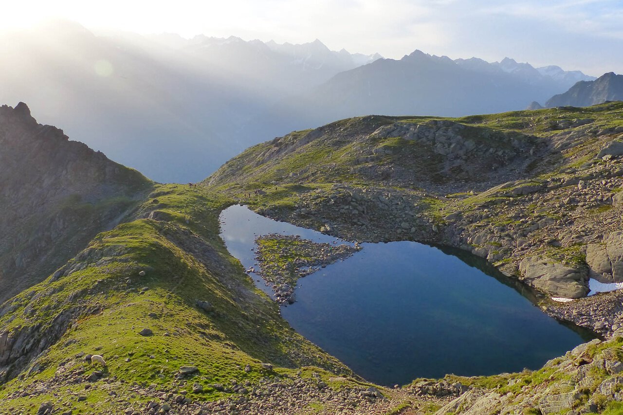
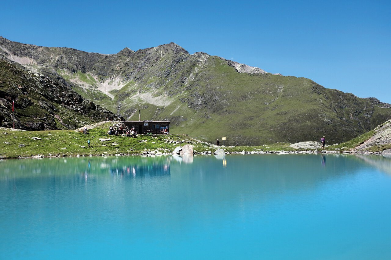
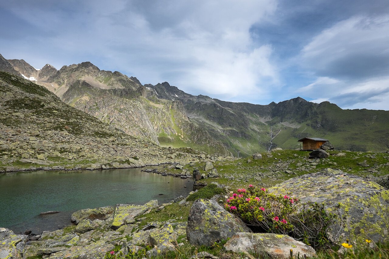
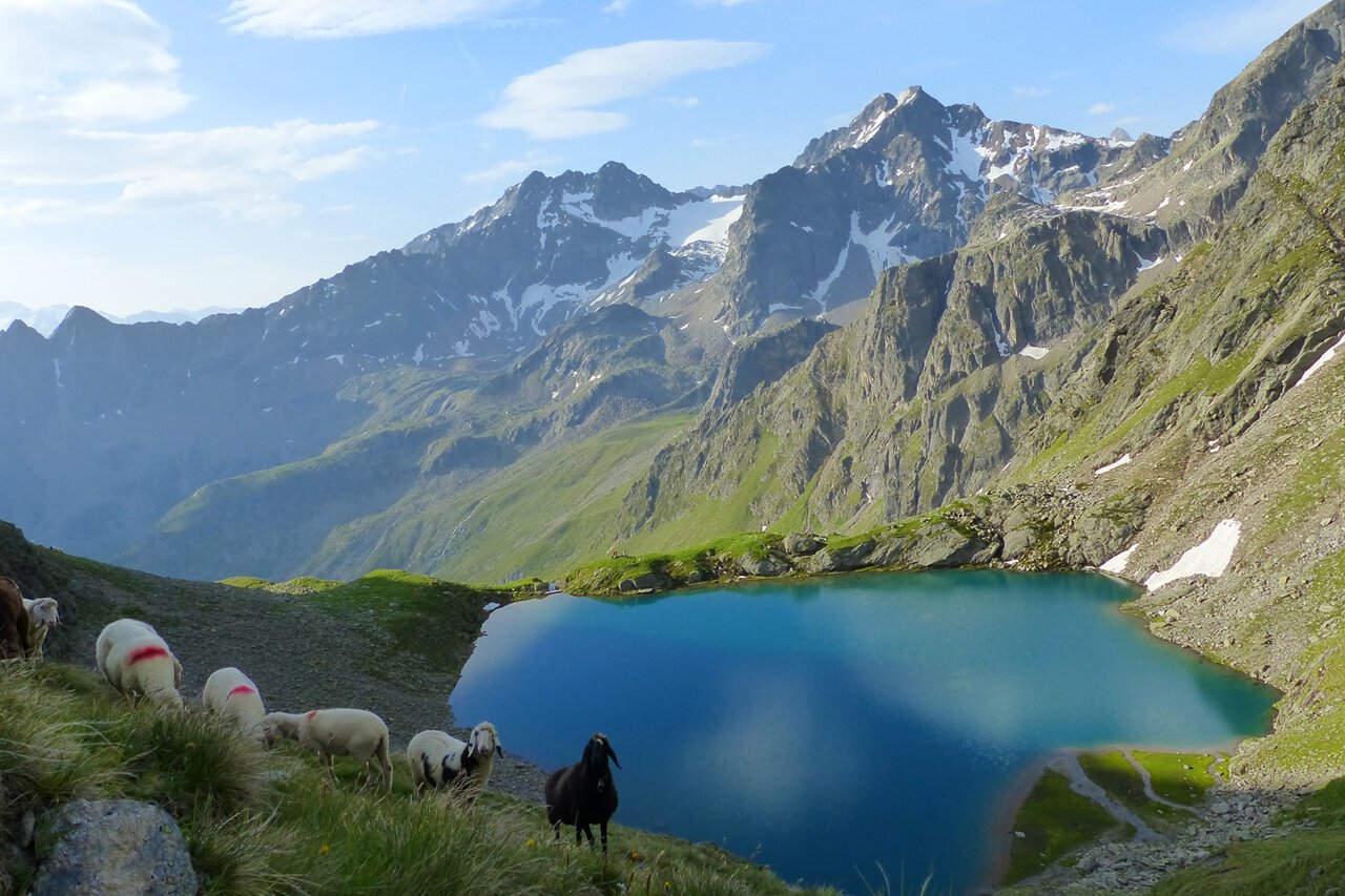
The starting point for this scenically outstanding trail run is directly at the sports center in Längenfeld near the town center. You start over the new bridge across the Ötztaler Ache towards the hamlet "Lehn". From there, follow a rather steep hiking trail along the Lehner Waterfall towards the Stabele Alm. After passing this, you continue to the Leckalm and the first lake, the so-called Plattach Lake at 2,500m elevation. From there, follow the markings and signs to the highest point of this route, the Felderjöchl at 2,616m. Then follows a descent to the 2nd lake, the "White Lake" at 2,546m. The trail continues to the Lower Spitzig Lake up to the 4th lake of this round, the Hauer Lake at 2,383m. Through the Hauerkar, it goes downhill along the stream until you reach the Pest Chapel (Bichl Church) at 1,206m. From there, it is only a stone's throw back to the starting point, the sports center.
Author's tip
The Stabele Alm is very popular for its Tyrolean cuisine.
Regions & Places
Austria (Country)
Tyrol (Province)
Bezirk Imst (District)
Ötztal (Tourism area)
Längenfeld (Commune)
Mountain areas
Alps (Mountain area)
Stubai Alps (Mountain area)
Ötztal Alps (Mountain area)
Modified at 10.08.2026 · Created at 05.02.2021
Details
Characteristics
Round trip
Refreshment stops available
Way types
Safety guidelines
Please observe any possible trail closures. In the summer months, many hikers and mountaineers are also on this route, please show mutual consideration. This is a high alpine trail run with the corresponding alpine risks.
Alpine emergency call: 140
Safe travels!
Download the mountain rescue emergency app in advance. If you need help, you can transmit your exact coordinates via the app.
EMERGENCY APP for download:
Android: https://play.google.com/store/apps/details?id=at.tirol_notfall&hl=de
iPhone: https://apps.apple.com/at/app/sos-eu-alp/id400099520
Arrival
Public transit
Travel comfortably and safely by train. The final stop or exit point is ÖTZTAL station. Afterwards, you travel conveniently and quickly by public transport or local taxi companies to the middle of the valley in the municipality of Längenfeld. From the "Kirche" stop, follow the signs to the "Sports Center" which is about 200 meters (10 min) from the bus stop. The current bus timetable is available at: http://fahrplan.vvt.at
Starting point
Sports Center Längenfeld
Getting there
Arrival by car is via the Inn Valley to the valley entrance and then along the Ötztal. In addition to the toll motorway, country roads can also be used. Once in Längenfeld, follow the signs to the sports center or football pitch after the first roundabout at the village entrance. Your journey can be quickly and conveniently planned with the route planner. To the route planner: https://www.google.at/maps
Parking
Free parking spaces are available directly at the sports center.
Current information
Wednesday, 21.10.
Southern congestion – Föhn conditions
Late cold front from the west
Late cold front from the west
Morning
10 °C
40%
Rainfall risk
Afternoon
16 °C
70%
Rainfall risk
Thursday, 22.10.
Last remnants of the disturbance
Significantly colder than recently
Significantly colder than recently
Morning
3 °C
40%
Rainfall risk
Afternoon
11 °C
20%
Rainfall risk
Equipment
Trail running school, rain jacket, refreshments for approx. 18.6km route in high alpine terrain.