Mountain Hike

Vent-Wildes Mannle -Breslauer Hut-Vernagt Hut-Guslarspitze-Hochjoch Hospice-Schöne Aussicht-Vent

Vent
Top
Hard
Key facts
72:00 h Duration
51.35 km Length
3886 m Ascent
3087 m Descent
3,112 m Max. altitude
1,883 m Min. altitude
Stamina
Landscape
Quality of Experience
Best Season
Jan Feb Mar Apr May Jun Jul Aug Sep Oct Nov Dec

Description

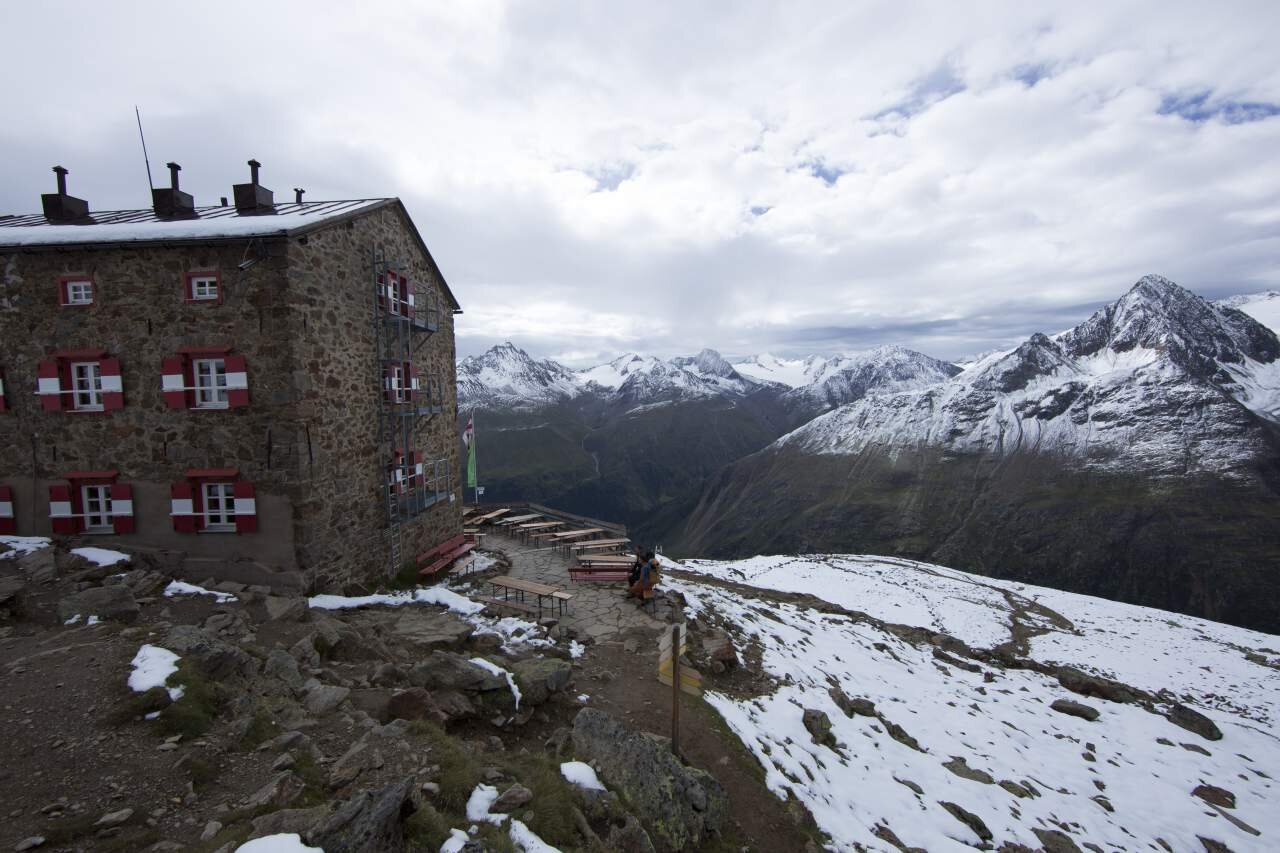
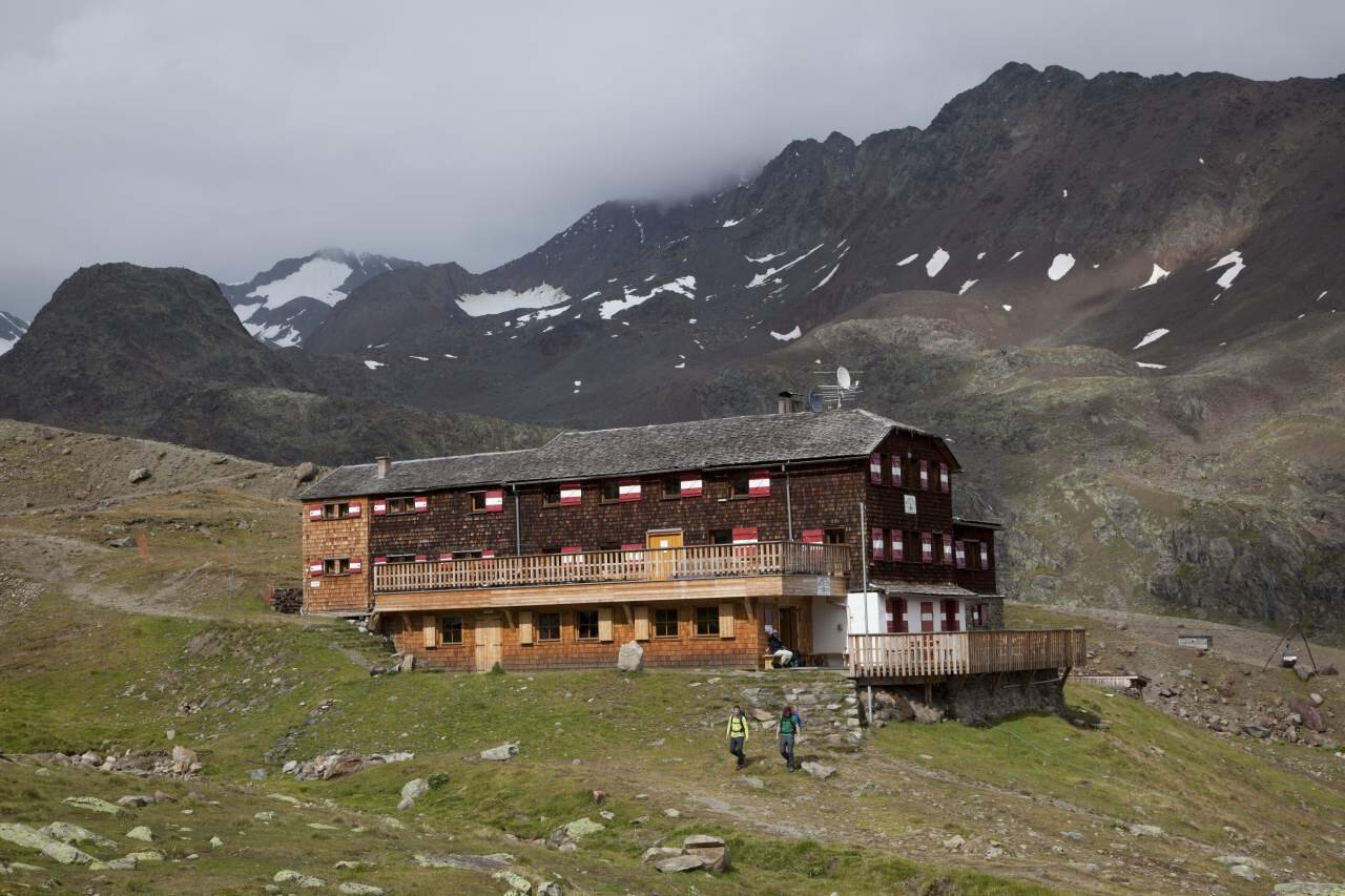
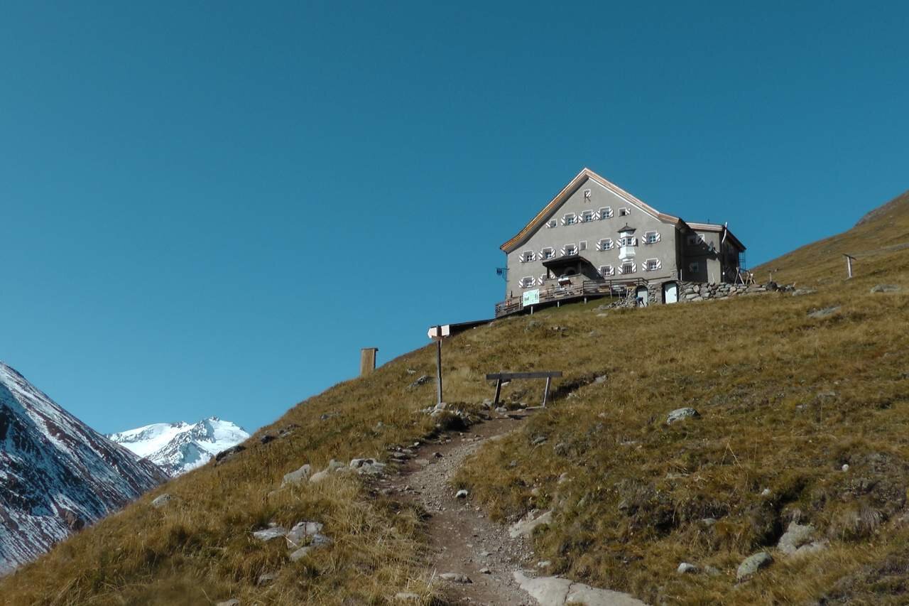
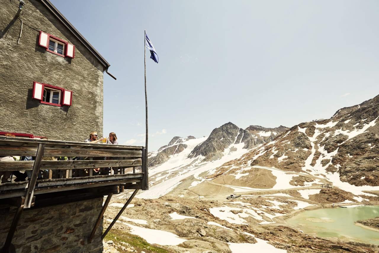
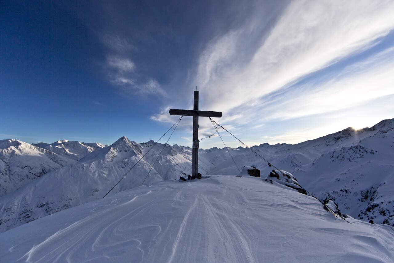
From Vent, take the double chairlift to the Stablein mountain station. From there, hike about 30 minutes towards the Breslauer Hut, then turn right. After about half an hour above the station of the Wildes Mannle six-seater chairlift, follow the signpost to the right. To the summit, climb over steep and rocky terrain. From there you have a magnificent view of the directly opposite Wildspitze, the beautiful Rofenkar Glacier and the Venter mountains, as well as the Ortler group. Descend over the summit to a small notch and down a secured path to the tongue of the Rofenkarferner, to the small glacier lake. From there, take a narrow, marked mountain path to the right to the Breslauer Hut. Continue along the Seufert path without significant ascent into the Vernagtbach valley. From there, climb to the Vernagt Hut. Overnight stay. From the Vernagt Hut, first descend, then moderately ascend in switchbacks, and finally along the ridge to the summit of the Middle Guslarspitze. The descent to the Hochjoch Hospice leads over scree and then moderately descending terrain. Overnight stay. From the Hochjoch Hospice, a steep path leads down to the iron bridge over the Hintereisbach. From there, climb in several switchbacks and moderately ascend above the Hochjochferner to the Schöne Aussicht shelter and descend back to Vent by the same route.

Map & elevation profile

From Vent, take the double chairlift to the Stablein mountain station. From there, hike about 30 minutes towards the Breslauer Hut, then turn right. After about half an hour above the station of the Wildes Mannle six-seater chairlift, follow the signpost to the right. To the summit, climb over steep and rocky terrain. From there you have a magnificent view of the directly opposite Wildspitze, the beautiful Rofenkar Glacier and the Venter mountains, as well as the Ortler group. Descend over the summit to a small notch and down a secured path to the tongue of the Rofenkarferner, to the small glacier lake. From there, take a narrow, marked mountain path to the right to the Breslauer Hut. Continue along the Seufert path without significant ascent into the Vernagtbach valley. From there, climb to the Vernagt Hut. Overnight stay. From the Vernagt Hut, first descend, then moderately ascend in switchbacks, and finally along the ridge to the summit of the Middle Guslarspitze. The descent to the Hochjoch Hospice leads over scree and then moderately descending terrain. Overnight stay. From the Hochjoch Hospice, a steep path leads down to the iron bridge over the Hintereisbach. From there, climb in several switchbacks and moderately ascend above the Hochjochferner to the Schöne Aussicht shelter and descend back to Vent by the same route.

Regions & Places

Austria (Country)
Italy (Country)
Tyrol (Province)
South Tyrol (Province)
Bezirk Imst (District)
Ötztal (Tourism area)
Vent (Tourism area)
Merano and surroundings (Tourism area)
Schnals (Commune)
Gemeinde Sölden (Commune)

Mountain areas

Alps (Mountain area)
Ötztal Alps (Mountain area)
Modified at 12.08.2026 · Created at 25.08.2016

Characteristics

Linear route
Scenic
Refreshment stops available
Summit route

Way types

Asphalt 1.52 km
Schotterweg 83.18 m
Naturweg 1.69 km
Pfad 6.11 km
Unbekannt 41.94 km

Hiking difficulty

Hiking trail - sometimes steep or narrow. Danger of falling cannot be ruled out. Basic surefootedness and orientation skills are an advantage.

Recommended literature

Ötztal Hiking Book | Helga Marberger | Publisher: Tyrolia

Recommended maps

Kompass #042 | Inner Ötztal and Pitztal, Gurgler Tal, Venter Tal | 1:25,000

Kompass #042 | Inner Ötztal and Pitztal, Gurgler Tal, Venter Tal | 1:25,000

Kompass #43 | Ötztal Alps, Ötztal, Pitztal | 1:50,000

Freytag&Bernd WK 251  | Ötztal, Pitztal, Kaunertal, Wildspitze  | 1:25,000

Kompass | Bike & Hiking map Ötztal | 1:35,000

Public transit

Travel comfortably and safely by train to the Ötztal train station. The final stop or exit point is ÖTZTAL station. From there you can conveniently and quickly travel with public transport or local taxi companies through the entire valley to your desired destination! The current bus schedule is available at: http://fahrplan.vvt.at

Starting point

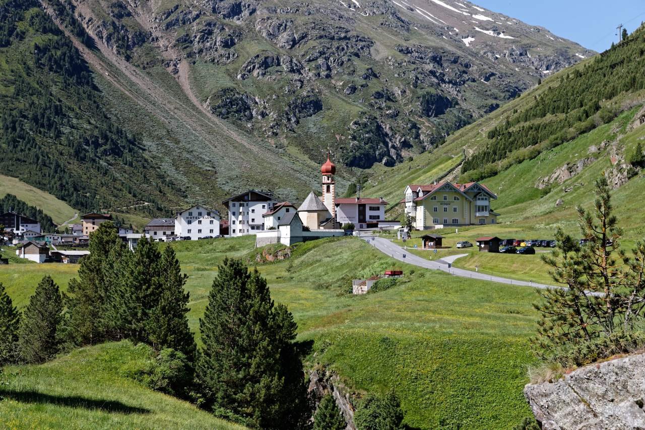
Vent

Getting there

Vent is located in western Austria in the state of TYROL, in a southern side valley of the Inn valley - the ÖTZTAL. For your car journey, plan the optimal route from your home with the route planner online:  https://www.google.at/maps

Parking

In Vent, the following parking options are available:

In front of the village and at the valley station of the chairlift (paid)

Coordinates

10.914722, 46.859977
Plan arrival

Monday, 17.08.
Variable weather—partly wet and cool
Morning
9 °C
90%
Rainfall risk
Afternoon
18 °C
80%
Rainfall risk
Tuesday, 18.08.
Slight improvement -
A little more sunshine again
Morning
8 °C
50%
Rainfall risk
Afternoon
17 °C
30%
Rainfall risk

The tour is within these protected areas.

Naturpark Ötztal (Protected area)
Ötztaler Alpen (Protected area)
Ruhegebiet Ötztaler Alpen (Protected area)

Wearing hiking equipment such as breathable and weather-appropriate outdoor clothing, ankle-high hiking boots, wind, rain, and sun protection, a hat, and possibly gloves is recommended! It is also important to carry sufficient food, a first aid kit, a mobile phone, and possibly a hiking map.