 106")


Winter hike Sonneck/Gaislachalm/Silbertal (alms closed) 106
Description
SÖLDEN /Stiegele --> Sonneck --> Gaislachalm --> Silbertal --> Gaislachalm --> Sonneck --> SÖLDEN/ Stiegele
Map & elevation profile
The Tour
SÖLDEN /Stiegele --> Sonneck --> Gaislachalm --> Silbertal --> Gaislachalm --> Sonneck --> SÖLDEN/ Stiegele
You can start your hike to the Gaislachalms from the Stiegele parking lot, following the Gaislach/Hochsölden junction.
As an alternative starting point, take the Zentrum Shuttle and follow the Außerwaldstraße towards Innerwald. Via the Innerwaldstraße, you reach directly the district of Infang, where you can begin your hike.
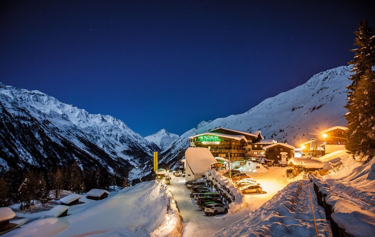
Initially, you pass the guesthouse Sonneck, from where the path continues on a flat forest road to the Gaislachalm. Then it continues into the Silbertal valley.
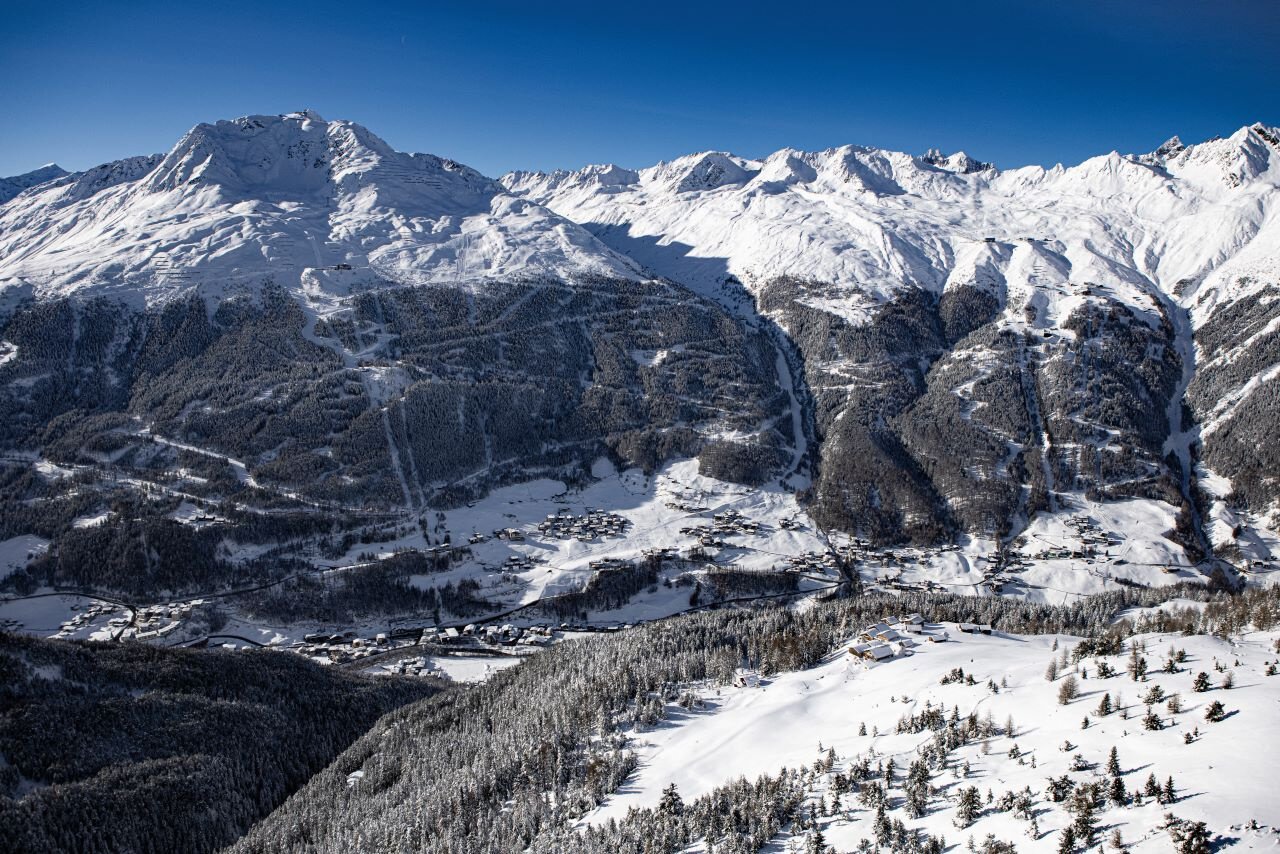
From above, you enjoy a breathtaking view of the Ventertal valley.
The huts along the hike invite you to stop and refresh yourself.
Regions & Places
Mountain areas
Details
Characteristics
Way types
Safety guidelines
Please inform yourself about the trail conditions and status of the respective path at Ötztal Tourism before starting the winter hiking trail.
Ötztal Tourism
T +43 (0) 57 200 200
soelden@oetztal.com
Technical difficulty
Additional information
More info about winter hiking in the Ötztal: https://www.oetztal.com/winterwandern
Recommended maps
Map of Sölden
Directions
You can start your hike to the Gaislachalms from the Stiegele parking lot, following the Gaislach/Hochsölden junction.
As an alternative starting point, take the Zentrum Shuttle and follow the Außerwaldstraße towards Innerwald. A direct path leads over Innerwaldstraße to the district of Infang, where you can begin your hike.
The path is initially relatively flat before it ascends at the first curve, often running parallel to the ski slope. It continues on the signposted trail, which leads slightly uphill through dense forest to the Gaislachalms.
After some curves, you first reach the alpine guesthouse Sonneck. From there, it continues leisurely to the Gaislachalm and then into the Silbertal valley.
The descent follows the same path as the ascent.
Arrival
Public transit
Travel comfortably and safely by train to the ÖTZTAL station. The final stop or exit point is ÖTZTAL station. Afterwards, you can travel conveniently and quickly with public transport or local taxi companies through the entire valley to your desired destination.
The current bus timetable is available at: https://fahrplan.vvt.at
Starting point
Getting there
The car journey into the ÖTZTAL. Located in Tyrol, the ÖTZTAL branches off to the south as the longest side valley of the Eastern Alps. The car journey takes visitors via the Inn Valley to the valley entrance and further along the Ötztal. In addition to the toll motorway, country roads can also be used. With the route planner, the drive can be quickly and conveniently determined:
To the route planner: https://www.google.at/maps
Parking
You can park directly at the
- Stiegele parking lot
.
The parking spaces are subject to a fee.
Current information
Midsummer-like hot
Equipment
Appropriate equipment such as breathable and weather-appropriate outdoor clothing, ankle-high hiking boots, wind, rain, snow, and sun protection, hat and gloves, is required for all hikes and routes.
Carrying a first aid kit, a mobile phone and possibly a hiking map, as well as sufficient provisions for tours without refreshment opportunities is necessary.