")


Winter hiking trail to Stallwiesalm 100 (not operated in winter)
Map & elevation profile
The Tour
Freizeit Arena --> Granbichl --> Parking lot Barrier --> Stallwiesalm
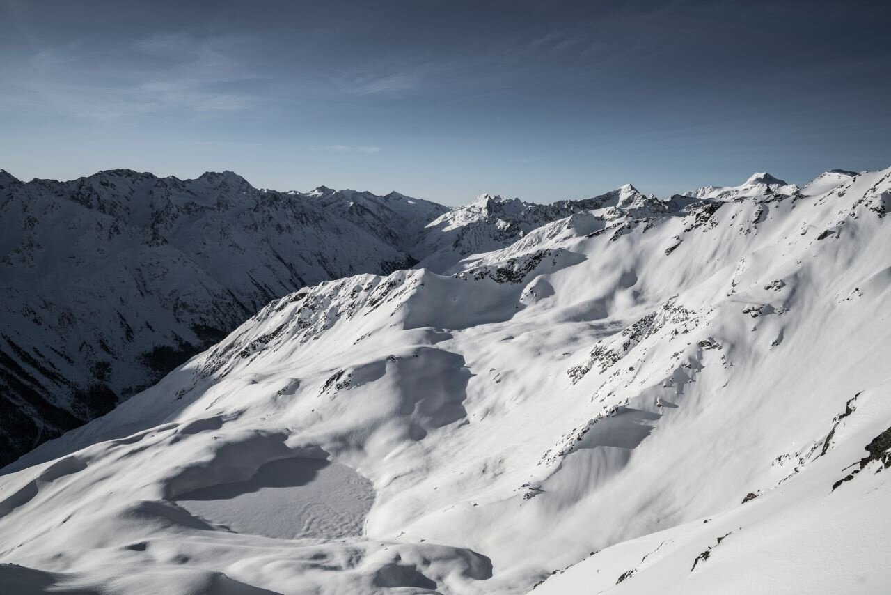
The Stallwiesalm, one of the most rustic alpine pastures in the Ötztal, impresses not only with its idyllic location but also with the special extra of the afternoon sun. As the locals lovingly call it "die Stallwies," it is a popular destination that is worth visiting all year round.
The alpine pasture is located on the quiet side of Sölden, away from the hustle and bustle, offering the perfect opportunity to enjoy the route calmly and completely undisturbed.
Start your hike at the Freizeit Arena Sölden and follow the path to the Granbichl district. Then continue towards the parking lot below the barrier. From there, a wide forestry road leads through the coniferous forest to the junction that takes you directly to the Stallwiesalm.
The hut evenings take place WED and THU.
For larger groups we recommend to make a reservation.
Hut evenings can be also organized on other days of the week.
Regions & Places
Mountain areas
Details
Characteristics
Way types
Safety guidelines
Please inform yourself about the trail conditions and status of the respective path at Ötztal Tourism before starting the winter hiking trail.
Ötztal Tourism
T +43 (0) 57 200 200
soelden@oetztal.com
Technical difficulty
Additional information
More info about winter hiking in the Ötztal: https://www.oetztal.com/winterwandern
Recommended maps
Map of Sölden
Directions
Start your hike at the Freizeit Arena Sölden and follow Granbichlstraße (Granbichl district) to the parking lot below the barrier.
The first two curves are a bit steeper, but gradually the path becomes flatter and pleasant to walk.
The trail leads you along a wide, prepared forestry road directly to the Stallwiesalm.
With good snow conditions, the steeper, narrower shortcuts can also be used. (Please note that these are not maintained and can therefore be particularly slippery – caution is advised!)
The descent takes place on the same route as the ascent.
Arrival
Public transit
Travel comfortably and safely by train to the ÖTZTAL station. The final stop or exit point is the ÖTZTAL station. Afterwards, you can conveniently and quickly travel by public bus or local taxi companies through the entire valley to your desired destination.
The current bus schedule is available at: https://fahrplan.vvt.at
Starting point
Getting there
The car journey to the ÖTZTAL. Located in Tyrol, the ÖTZTAL branches off southward as the longest side valley of the Eastern Alps. Traveling by car leads visitors over the Inn valley to the valley entrance and continues along the Ötztal. Besides the toll motorway, country roads may also be used. The route planner makes it quick and convenient to determine the drive:
To the route planner: https://www.google.at/maps
Parking
The following parking options are available in Sölden:
- Parking lot Barrier
- Parking lot Postplatz
The parking lots are subject to a fee.
Current information
Midsummer-like hot
The tour is within these protected areas.
Equipment
Appropriate equipment such as breathable and weather-adapted outdoor clothing, ankle-high hiking boots, wind, rain, snow, and sun protection, hat and gloves are required for all hikes and routes.
Bringing a first aid kit, a mobile phone and possibly a hiking map, as well as sufficient provisions for tours without the possibility of stopping, is necessary.